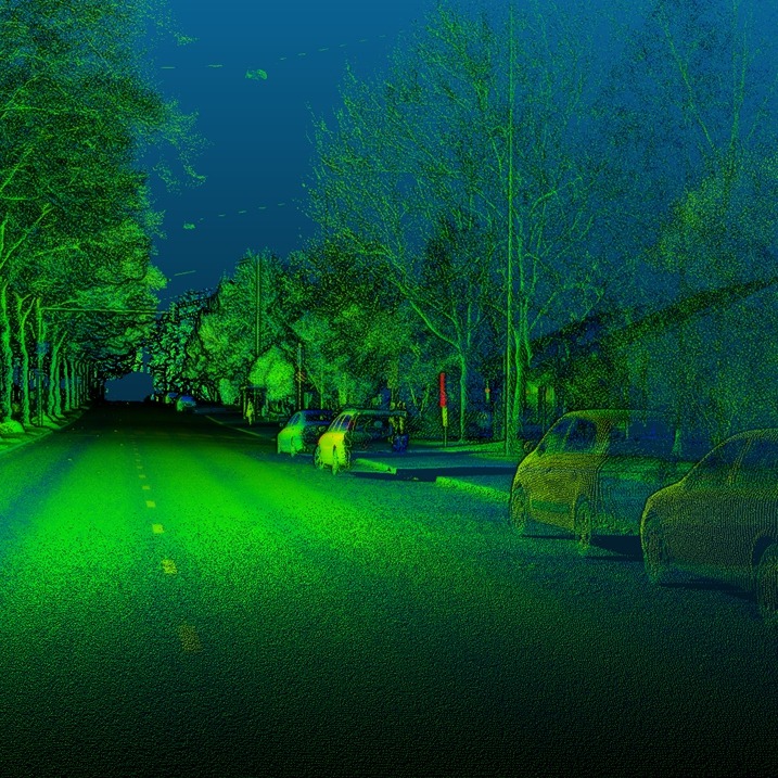
In laser scanning, intensity value is often recorded for each point – in addition to point cloud x,y,z information. The need for radiometric calibration of the laser scanning intensity stems from the possibility of using calibrated intensity as additional feature for object classification and object characteristics estimation. Intensity calibration of airborne LS (ALS) has been done by CoE FGI group since 2002.
The major bottleneck in passive multi- or hyperspectral data processing has been the illumination changes (bidirectional reflectance distribution function, BRDF, Sun movement, clouds) of the environment. The BRDF changes of mobile imagery are even more dramatic than in aerial imaging, since imaging is done in all geometries. Therefore, active multispectral laser scanning is an attractive solution for future laser scanning, which has also been stressed by CoE FGI group in several international invited presentations when coordinating EuroSDR Radiometric calibration of ALS -project.
Our researchers have been proposing e.g. that 3-4 channel multispectral laser scanning system is feasible for automated object recognition. We have also prototyped first hyperspectral laser scanners (2007). The first operative multispectral ALS was done by Optech in January 2015 with a product name Titan. Our research has contributed to analyzing this new single-sensor mapping for various applications. CoE-LaSR researchers have demonstrated that multispectral laser scanning can be utilized in automated object-based land cover classification (Matikainen et al.2017), road mapping (Karila et al. 2017) and tree species classification (Yu et al.2017). The technology is expected to provide large saving to national mapping e.g. via improved automation in mapping and a reduction of overlapping surveying efforts.