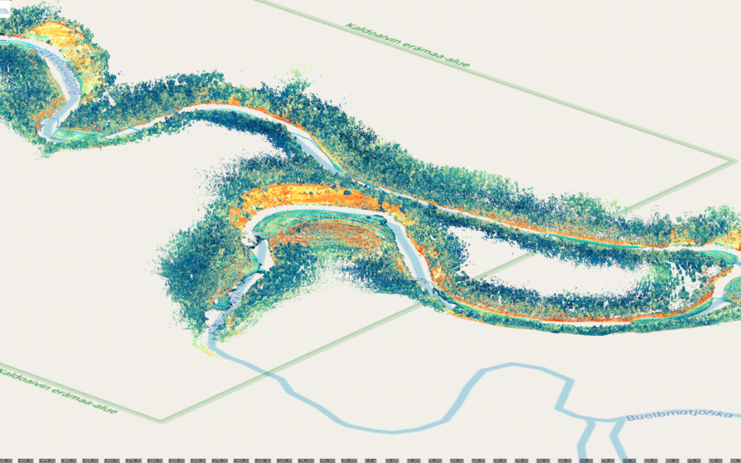
A year ago, the Finnish Geospatial Research Institute of the National Land Survey of Finland added a new laser scanning sensor to its comprehensive equipment selection. What makes this sensor special is that the wavelength used enables surveying underwater, and it can be mounted onto a helicopter to fly over waterbodies.
This equipment is used for several research projects of the Department of Remote Sensing. For example, the produced data is used to study forest health, swamp rehabilitation and changes to riverbeds and glaciers, and to develop and optimise mapping systems for autonomous vehicles.
The equipment was put to work immediately: The Finnish Geospatial Research Institute (FGI) is participating in three major projects funded by the Academy of Finland on catchment areas and Finnish waterbodies.
– The scanner has been used for the bathymetry of riverbeds of the Pulmanki, Oulanka and Kuusinki rivers. We’ve also scanned lakes and studied how the scanner can be used to measure their bottom contours: Meiko at Kirkkonummi, Humaljärvi and Vitträsk were the first areas studied. For comparison purposes, scanning material of the lakes of Kirkkonummi was also ordered from a more powerful laser scanning system especially designed for bathymetry, says Research Professor Harri Kaartinen from FGI.
Cooperation benefits companies, innovations and research
Material was ordered from a partner company specialising in mapping. In particular, the Hydro-RDI project led by Kaartinen aims to develop cooperation between Finnish operators in the field of hydrology, a “research ecosystem”. Both commercial operators and research organisations benefit from the co-development of technology. In the best-case scenario, research by public research institutes benefits and supports Finnish innovation companies and in turn the economic development of Finland, and both parties can use the collected data for comparison material in their studies. In addition, testing and combining of equipment becomes easier when every organisation or company does not have to buy sensors and other expensive research equipment themselves for testing or development purposes.
According to Research Professor Antero Kukko, a scanner specialist at FGI, the next plan is to perform snow and ice scanning with the new sensor during this winter, and international cooperation flights related to forest research in Central and Southern Europe later in the spring.
– The development of the research ecosystem started in the Hydro-RDI partnership project will be continued after this project, and new operators and project ideas are welcome, says Kaartinen. The project will continue the webinar series started in 2021 in the spring and autumn of 2022. More information about these and the ecosystem can be found at: www.hydrordi.com.
More information about the scanner can be found in the following article in GIM international:
More information
Research professor Harri Kaartinen, 029 531 4756, firstname.lastname@nls.fi
Research professor Antero Kukko 029 531 4806, firstname.lastname@nls.fi

