We create new knowledge, science, openings and breakthroughs in the emerging field of laser scanning at the Finnish Geospatial Research Institute FGI.
The Centre of Excellence in Laser Scanning Research CoE-LaSR existed between 2014-2019 and was funded from Academy of Finland Centres of Excellence programme. The laser scanning research and development work is ongoing in our new projects.
We are continuously looking for new academic partnerships and business collaboration
Interested in a career in developing laser scanning technology?
On this video Dr Mariana Campos sets up a permanent laser scanning station in the premises of the Finnish geospatial research institute FGI, to monitor small phenological changes in the forest.
The scientist, who classified millions of points from one of the largest point cloud test datasets in the world
Szabolcs Lörincz is a 23-year old scientist from Transylvania. He recently defended his master’s thesis at Aalto University, which he completed working at the Finnish Geospatial Research Institute FGI.
The results produced by the Centre of Excellence in Laser Scanning Research significant for society
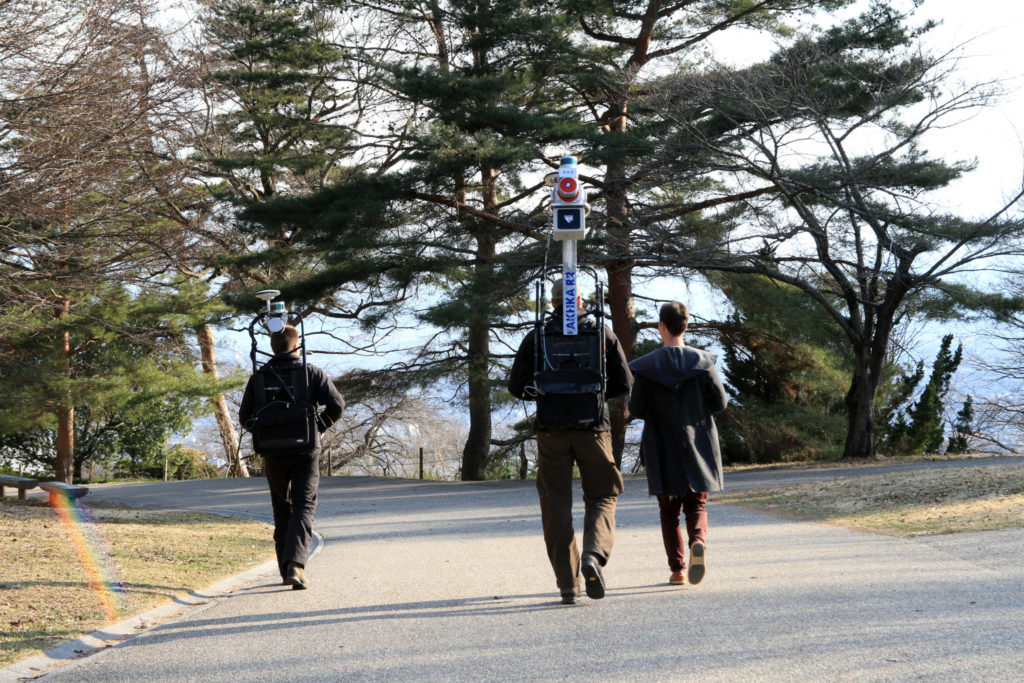
Laser scanning scientists at work in the field. Picture: Juha Hyyppä The scientific achievements of the Centre of Excellence in Laser Scanning Research (CoE-LaSR) have produced plenty of benefits with far reaching impact both...
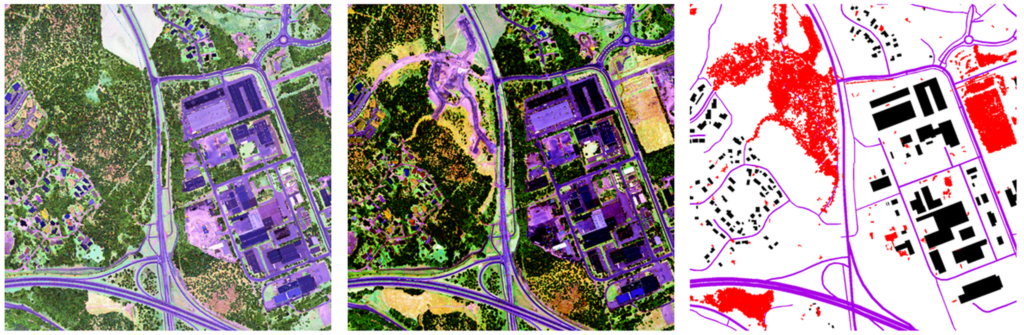
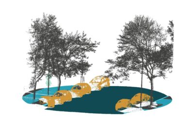
The world is changing – new remote sensing technology tells you where and how
An increasing number of services that are becoming commonplace in people’s daily lives need up-to-date and reliable location information – that is, the most accurate updated map. A recently published study suggests for the first time how the latest digital remote...
The scientist, who classified millions of points from one of the largest point cloud test datasets in the world
Szabolcs Lörincz is a 23-year old scientist from Transylvania. He recently defended his master’s thesis at Aalto University, which he completed working at the Finnish Geospatial Research Institute FGI.
The results produced by the Centre of Excellence in Laser Scanning Research significant for society
Laser scanning scientists at work in the field. Picture: Juha Hyyppä The scientific achievements of the Centre of Excellence in Laser Scanning Research (CoE-LaSR) have produced plenty of benefits with far reaching impact both...
The world is changing – new remote sensing technology tells you where and how
An increasing number of services that are becoming commonplace in people’s daily lives need up-to-date and reliable location information – that is, the most accurate updated map. A recently published study suggests for the first time how the latest digital remote...
laser scanning network
Our networks around the world