Sep 3, 2015 | Research and releases
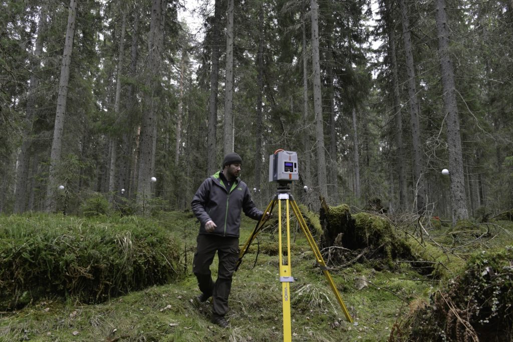
Picture above: Preparing to collect terrestrial laser scanning data from old Norway spruce forest. High detail remote sensing technologies, especially laser scanning, and their ability to measure 3D structure of the forest have revolutionized forest mapping and...