We create new knowledge, science, openings and breakthroughs in the emerging field of laser scanning at the Finnish Geospatial Research Institute FGI.
The Centre of Excellence in Laser Scanning Research CoE-LaSR existed between 2014-2019 and was funded from Academy of Finland Centres of Excellence programme. The laser scanning research and development work is ongoing in our new projects.
We are continuously looking for new academic partnerships and business collaboration
Interested in a career in developing laser scanning technology?
On this video Dr Mariana Campos sets up a permanent laser scanning station in the premises of the Finnish geospatial research institute FGI, to monitor small phenological changes in the forest.
Method to retrieve stem volume
In the boreal forest zone and in many forest areas, there exist gaps between the forest crowns. For example, in Finland, more than 30% of the first pulse data of laser scanning reflect directly from the ground without any interaction with the canopy. By increasing the...
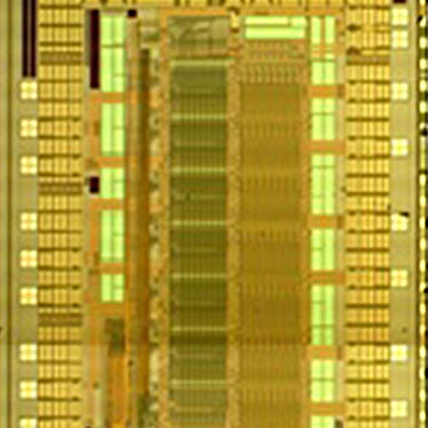
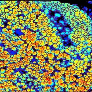
CMOS Time-to-Digital Converter
A multichannel time-to-digital converter (TDC) implemented with 0.35-μm complementary metal-oxide-semiconductor technology that uses a low-frequency crystal as reference and measures the time intervals with counter and delay line interpolation techniques is described....
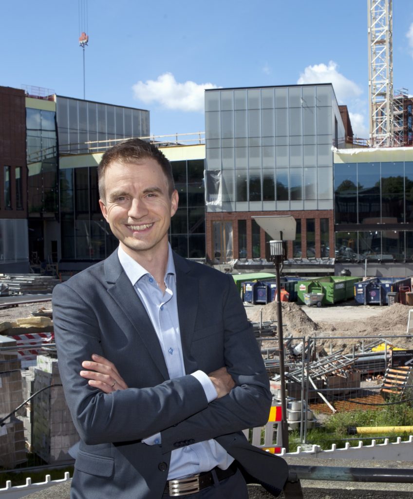
CoE -LaSR -researcher appointed as Assistant Professor at Aalto University
One of our post doc researchers, Matti Vaaja, has been appointed Assistant Professor at Aalto University’s Department of Built Environment. (1.8.2017-31.7.2022.) This is a great success for the Centre of Excellence as our aim is to boost knowledge based growth...
CoE -LaSR -research popular in international media in 2016
Laser scanning research got recognition among the international media in 2016. Our “sleeping trees” findings and advances in mobile laser scanning gained international audiences both in scientific journals and popular news. Two articles by CoE -LaSR researchers were...
Hyperspectral dataset available as open data
Our novel Hyperspectral Terrestrial Laser Scanning (TLS) dataset has been published as open data. The laser scanning point cloud dataset consists of 30 individual scans collected as a time series covering a 26 hour time frame. Each point in the laser scanning point...
laser scanning network
Our networks around the world